

Description
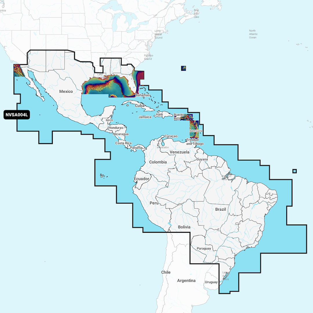
GARMIN CARTOGRAPHY 010-C1285-00 Compatible With Chart Plotters/ Sonar; Detailed Coverage Of Coastal Of Mexico Central America And Brazil; Region Code: NVSA004L; On SD/ Micro-SD Card; With Auto Guidance Technology High-Resolution Relief Shading Sonar Imagery High-Resolution Satellite Imagery Aerial Photography Side-Scan Images 3D Fisheye View 3D Marinereye View And Dynamic Lake Level
Brand : GARMIN CARTOGRAPHY
ManufacturerPart : 010-C1285-00
UPC : 753759290597
Length : 6.38 inches
Width : 3.94 inches
Height : 0.87 inches
Weight : 0.09 lbs
Case Quantity : 1
Prop65 Toxicity : C
Compatible With Chart Plotters/ Sonar; Detailed Coverage Of Coastal Of Mexico Central America And Brazil; Region Code: NVSA004L; On SD/ Micro-SD Card; With Auto Guidance Technology High-Resolution Relief Shading Sonar Imagery High-Resolution Satellite Imagery Aerial Photography Side-Scan Images 3D Fisheye View 3D Marinereye View And Dynamic Lake Level

