
Description
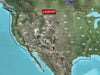
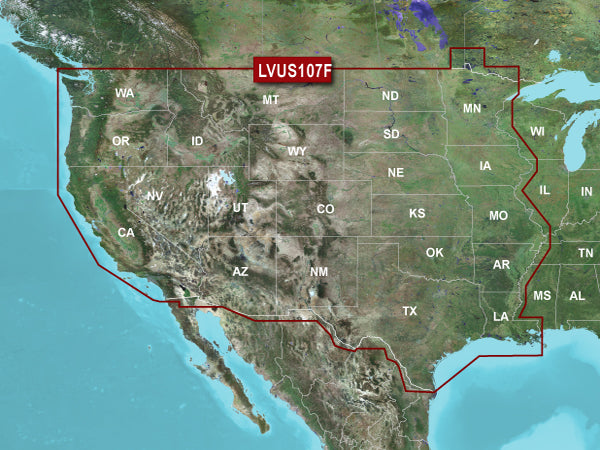
GARMIN CARTOGRAPHY 010-C1205-00 Compatible With Chart Plotters; Region Code: LVUS107F; Detailed Coverage Of Continental U.S West Of The Mississippi River; On SD/Micro-SD Card; With High Resolution Relief Shading Auto-Guidance Depth Range Shading Shallow Water Shading Dynamic Lake Level And Sonar Imagery
Brand : GARMIN CARTOGRAPHY
ManufacturerPart : 010-C1205-00
UPC : 753759228057
Length : 8 inches
Width : 6 inches
Height : 1.5 inches
Weight : 0.5 lbs
Case Quantity : 1
Prop65 Toxicity : C
Compatible With Chart Plotters; Region Code: LVUS107F; Detailed Coverage Of Continental U.S West Of The Mississippi River; On SD/Micro-SD Card; With High Resolution Relief Shading Auto-Guidance Depth Range Shading Shallow Water Shading Dynamic Lake Level And Sonar Imagery