

Description
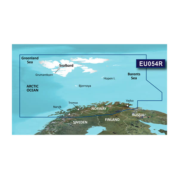
GARMIN CARTOGRAPHY 010-C0790-20 Compatible With Chart Plotters; Region Code: HXEU054R; Detailed Coverage Of Northern Norway Coast From Vestfjorden To Vadso Including Tromso And Narvik; On SD/Micro-SD Card; With Integrated Garmin/Navionics Content Auto-Guidance Depth Range Shading Shallow Water Shading Detailed Contours And NOAA Raster Cartography
Brand : GARMIN CARTOGRAPHY
ManufacturerPart : 010-C0790-20
UPC : 753759092023
Length : 8 inches
Width : 6 inches
Height : 1.5 inches
Weight : 0.5 lbs
Case Quantity : 1
Prop65 Toxicity : C
Compatible With Chart Plotters; Region Code: HXEU054R; Detailed Coverage Of Northern Norway Coast From Vestfjorden To Vadso Including Tromso And Narvik; On SD/Micro-SD Card; With Integrated Garmin/Navionics Content Auto-Guidance Depth Range Shading Shallow Water Shading Detailed Contours And NOAA Raster Cartography

